Course Description

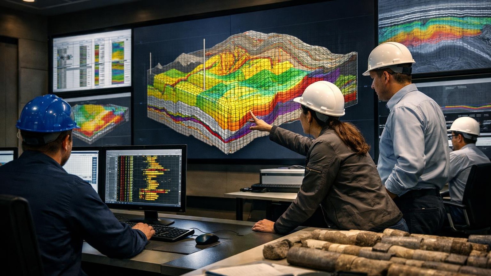
Geological modeling provides an integrated three-dimensional representation of the subsurface and supports exploration evaluation, reservoir characterization, volumetric estimation, field development planning, and reservoir simulation. The quality of a geological model depends on the correct integration of structural, stratigraphic, sedimentological, petrophysical, seismic, core, and well data.

This course provides a systematic foundation in static geological modeling, guiding participants through the complete workflow from structural framework construction and data preparation to facies modeling, petrophysical property modeling, upscaling, volumetric evaluation, uncertainty analysis, and model quality control.

Participants will examine the role of faults, horizons, grids, depositional concepts, geostatistical parameters, trends, rock typing, porosity-permeability relationships, and seismic attributes in controlling the distribution of reservoir properties. The course introduces commonly used deterministic and stochastic modeling methods, including kriging, sequential Gaussian simulation, sequential indicator simulation, object-based modeling, and multiple-point approaches.

Practical exercises and case studies help participants understand how modeling assumptions influence connectivity, property distribution, hydrocarbon volumes, and uncertainty ranges. The program also provides a structured methodology for reviewing static models prepared by operators or third parties and assessing their geological consistency, data integration, volumetric reliability, and readiness for dynamic simulation.

Course Objectives

  • Understand the role of geological models in exploration, reservoir evaluation, and field development.
  • Explain the complete static modeling workflow and the relationship between structural, facies, and property models.
  • Assess the quality, scale, and limitations of seismic, well, core, log, and geological input data.
  • Construct and review structural frameworks using faults, horizons, zones, and three-dimensional grids.
  • Understand upscaling methods and their effects on volumetrics, connectivity, and flow behavior.
  • Interpret variograms, trends, anisotropy, stationarity, and spatial correlation.
  • Compare deterministic and stochastic geostatistical modeling techniques.
  • Select appropriate methods for siliciclastic and carbonate facies modeling.
  • Develop and evaluate porosity, permeability, net-to-gross, saturation, and rock type models.
  • Apply facies-controlled petrophysical modeling and porosity-permeability transformations.
  • Evaluate structural, facies, parameter, and volumetric uncertainty.
  • Construct P90, P50, and P10 scenarios and identify the most influential uncertainty parameters.
  • Calculate and reconcile STOIIP and GIIP volumes.
  • Apply QC procedures when reviewing operator- or contractor-provided static models.
  • Assess whether a geological model is suitable for upscaling, dynamic simulation, and history matching.

Audience

Engineers, technicians, supervisors, managers, and other professionals involved in the relevant technical or business function.

Prerequisites

No formal prerequisites are required. Relevant education or industry experience is beneficial.

Course Content

Geological Modeling Workflow and Data Integration

  • Role of static geological models in exploration and field development
  • Relationship between geological, petrophysical, and reservoir simulation models
  • Core, log, seismic, well test, and production data integration
  • Data scales and resolution differences
  • Input data quality, uncertainty, and limitations
  • Conceptual geological models and modeling objectives

Structural Framework Modeling

  • Fault interpretation and fault framework development
  • Horizon and surface modeling
  • Zone definition and stratigraphic layering
  • Three-dimensional grid construction
  • Grid orientation, cell geometry, and resolution
  • Structural uncertainty and alternative structural scenarios
  • Quality control of faults, horizons, contacts, and grids

Upscaling Fundamentals

  • Purpose of upscaling in geological and reservoir modeling
  • Scale relationships between core, log, grid, and simulation cells
  • Arithmetic, geometric, and harmonic averaging
  • Porosity, permeability, saturation, and net-to-gross upscaling
  • Information preservation and loss during upscaling
  • Flow capacity, transmissibility, and connectivity
  • Impact of averaging methods on reservoir volumes and flow behavior

Geostatistical Foundations

  • Spatial correlation and geological continuity
  • Variogram construction and interpretation
  • Nugget, sill, range, and anisotropy
  • Variogram model selection
  • Stationarity and trend analysis
  • Kriging principles and applications
  • Sequential Gaussian and sequential indicator simulation
  • Multiple realizations and uncertainty representation

Siliciclastic Facies Modeling

  • Depositional environments and conceptual facies models
  • Vertical proportion curves
  • Facies proportion and trend analysis
  • Sequential indicator simulation
  • Object-based facies modeling
  • Channel, bar, lobe, and background facies representation
  • Connectivity and volumetric implications

Carbonate Facies Modeling

  • Carbonate depositional systems and facies architecture
  • Diagenetic modification and reservoir heterogeneity
  • Facies associations and rock fabric
  • Pixel-based, object-based, and multiple-point modeling
  • Algorithm selection for carbonate reservoirs
  • Connectivity and compartmentalization
  • Comparison of alternative facies modeling methods

Petrophysical Property Modeling

  • Preparation and conditioning of petrophysical data
  • Histogram, distribution, and statistical analysis
  • Porosity, permeability, saturation, and net-to-gross modeling
  • Vertical and lateral property trends
  • Property transforms and correlations
  • Co-kriging using seismic attributes
  • Property model quality control and validation

Rock Typing and Porosity-Permeability Relationships

  • Reservoir rock type concepts
  • Geological and petrophysical rock classification
  • Porosity-permeability crossplots
  • MICP-based rock typing
  • Permeability transformations
  • Capillary pressure and saturation-height integration
  • Core data classification exercise

Facies-Controlled Property Modeling

  • Simulation of reservoir properties by facies
  • Facies-dependent statistical distributions
  • Relationship between depositional facies and petrophysical properties
  • Parameter sensitivity and property uncertainty
  • Effects of porosity mean and variance on volumes
  • Property connectivity and flow-unit continuity

Volumetrics and Uncertainty Evaluation

  • Sources of structural, facies, property, and parameter uncertainty
  • Scenario uncertainty versus parameter uncertainty
  • Development of structured uncertainty workflows
  • Generation of multiple geological realizations
  • P90, P50, and P10 model construction
  • Tornado charts and sensitivity ranking
  • STOIIP and GIIP calculation
  • Volumetric reconciliation with seismic and engineering estimates

Model Review, Quality Control and Dynamic Readiness

  • Technical review of operator- and contractor-provided static models
  • Data integration and geological consistency checks
  • Fault, horizon, facies, and property model validation
  • Volumetric and statistical quality control
  • Identification of unrealistic modeling assumptions
  • Connectivity and compartmentalization assessment
  • Upscaling and dynamic simulation readiness
  • Preparation for reservoir simulation and history matching
  • Integrated geological modeling case study and final review

comments (0)

leave a comment